Advanced Real-Time Location Precision and Multi-Technology Integration
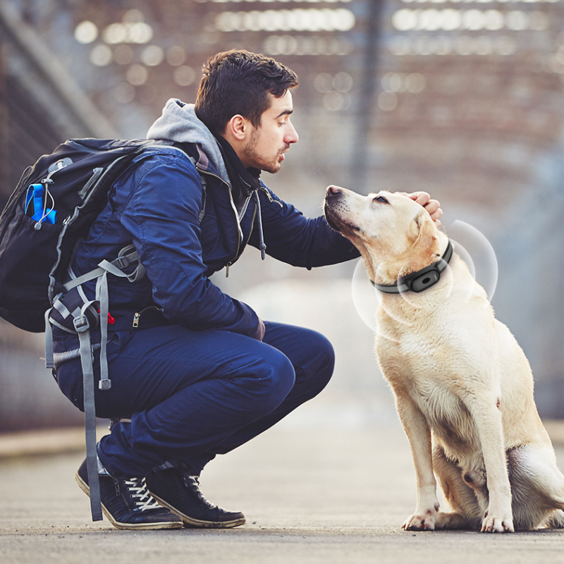
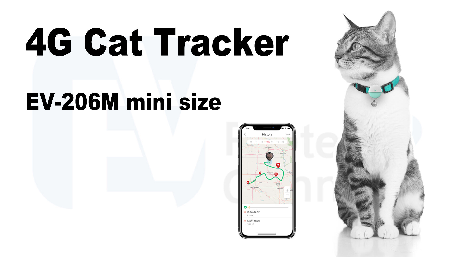
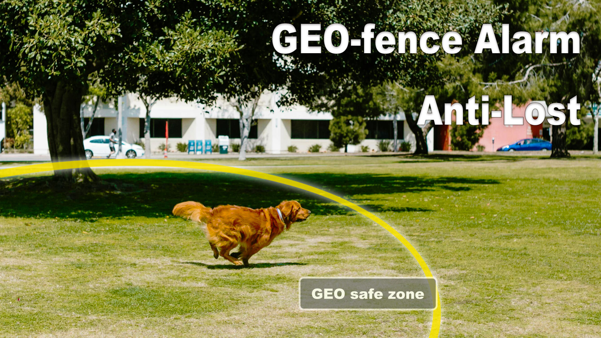
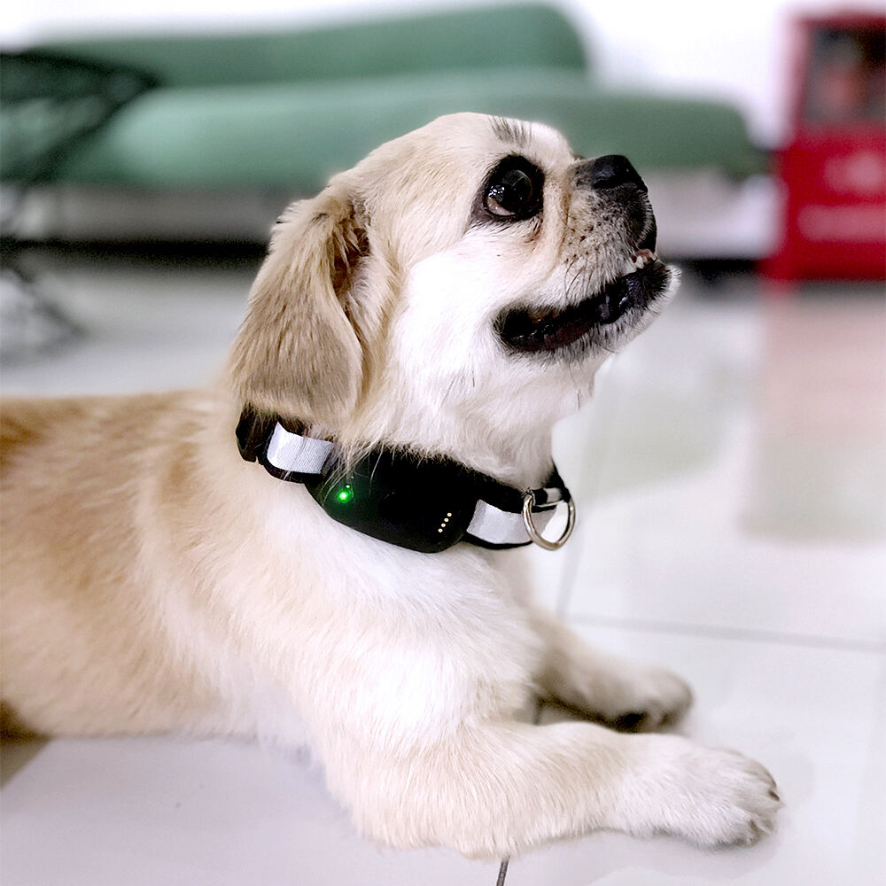
The mini GPS tracker for cats employs cutting-edge positioning technology that combines multiple satellite systems and cellular networks to deliver unparalleled location accuracy. This sophisticated approach utilizes GPS satellites, GLONASS constellation, and Galileo systems simultaneously, creating a robust positioning network that maintains consistent performance across diverse geographical environments. The device automatically switches between satellite systems based on signal strength and availability, ensuring continuous tracking even in challenging locations such as dense forests, urban canyons between tall buildings, or indoor environments where satellite reception might be limited. Cellular tower triangulation provides backup positioning when satellite signals are temporarily unavailable, maintaining location services through partnership with major telecommunications networks. The mini GPS tracker for cats updates location information at customizable intervals, ranging from every 30 seconds during active periods to every 5 minutes during rest phases, optimizing battery consumption while maintaining comprehensive monitoring coverage. Advanced algorithms analyze movement patterns to distinguish between normal exploration behavior and potential emergency situations, automatically increasing update frequency when rapid or erratic movement is detected. The positioning accuracy typically ranges from 3 to 5 meters under optimal conditions, providing precise enough information to locate cats within specific yards, buildings, or neighborhood blocks. Smart positioning technology adapts to indoor environments by utilizing WiFi network mapping and Bluetooth beacons when available, extending tracking capabilities beyond traditional outdoor GPS limitations. The system maintains a comprehensive location history database, storing up to 365 days of movement data that enables detailed analysis of behavioral patterns, preferred territories, and routine establishment. Real-time mapping integration with popular navigation platforms ensures location information is displayed on familiar, detailed maps that clearly show streets, landmarks, and geographical features. Emergency positioning protocols activate during distress situations, broadcasting location data at maximum frequency while simultaneously alerting emergency contacts and veterinary services when configured.


 Office:29th Floor,Changjiang Center, Renmin Road, Longhua, Shenzhen.
 Factory: 201# Building 1A, Nankechuang Yuangu, Gaofeng Road, Longhua, Shenzhen.


 +86 15899795842
