Advanced Real-Time GPS Tracking with Precision Mapping
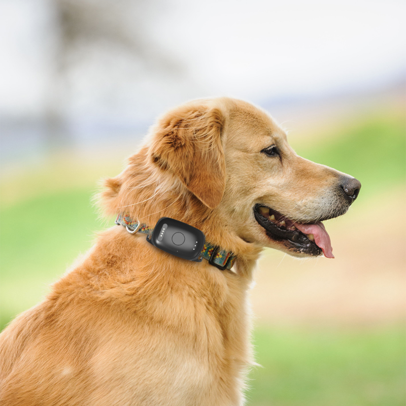
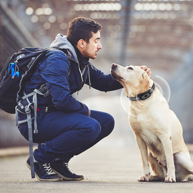
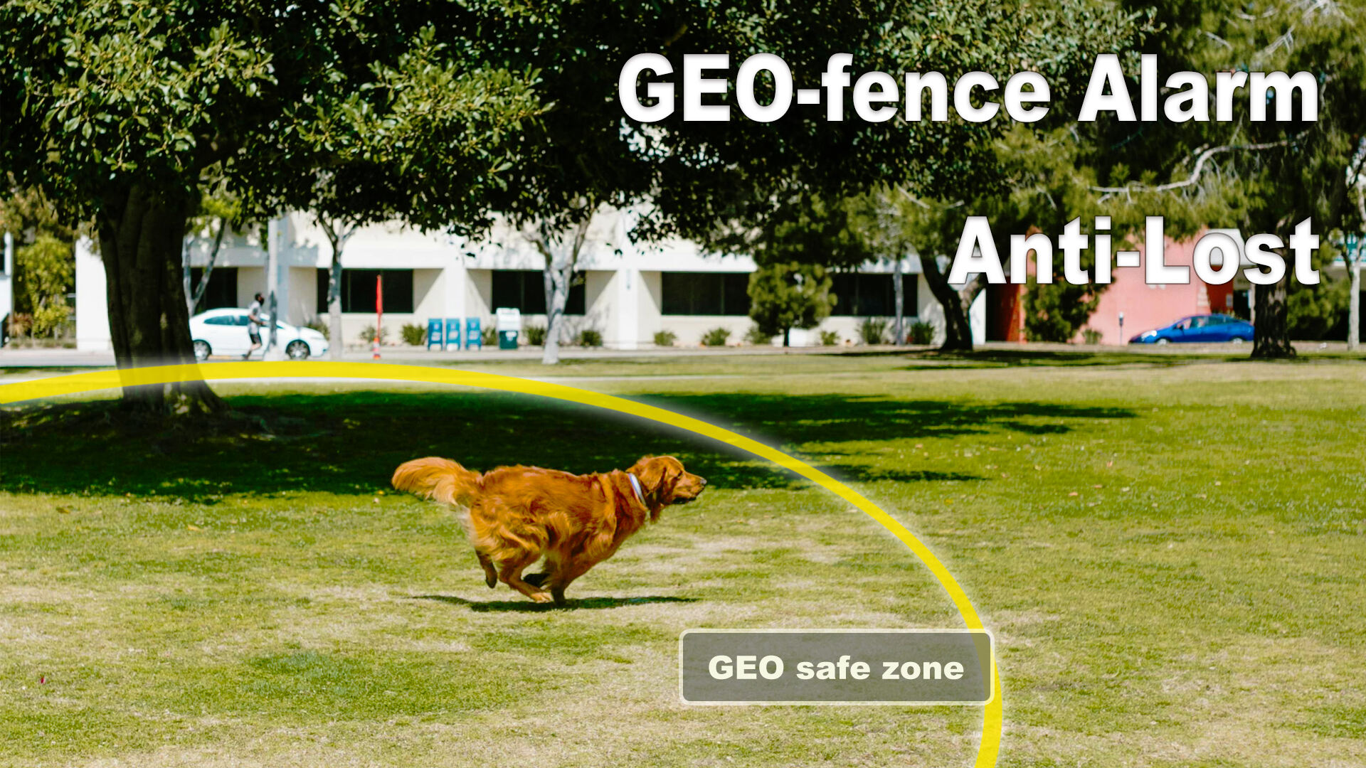
The best GPS training collar incorporates state-of-the-art satellite positioning technology that delivers unparalleled accuracy in tracking your dog's location across diverse terrains and environments. This sophisticated system utilizes multiple satellite networks including GPS, GLONASS, and Galileo to ensure consistent signal reception even in challenging conditions such as dense forests, mountainous regions, or urban areas with tall buildings. The high-sensitivity receivers maintain connection stability while advanced algorithms filter out signal interference and provide location updates as frequently as every few seconds. The precision mapping feature creates detailed visual representations of your dog's movements, displaying traveled routes, speed variations, and time stamps that help owners understand behavioral patterns and exercise habits. Interactive maps allow users to zoom in on specific areas, measure distances traveled, and identify favorite locations or potential problem zones. The system maintains comprehensive historical data, enabling long-term analysis of your dog's activity levels, preferred routes, and behavioral changes over time. Geofencing capabilities allow owners to establish virtual boundaries of various shapes and sizes, automatically triggering alerts when dogs enter or exit designated areas. These invisible fences can be customized for different locations such as home, vacation properties, or training grounds, providing flexible containment solutions without physical barriers. The mapping interface integrates weather data, terrain information, and local hazard warnings to provide comprehensive situational awareness during outdoor activities. Real-time sharing features enable multiple family members to monitor the same dog simultaneously, ensuring coordinated care and consistent training approaches. The system's accuracy proves invaluable during emergency situations, providing exact coordinates to search teams or emergency responders when rapid location becomes critical. Advanced filtering options help distinguish between normal movement patterns and potential distress signals, reducing false alarms while maintaining vigilant monitoring. The mapping data can be exported for analysis by professional trainers or veterinarians, supporting evidence-based training decisions and health assessments.


 Office:29th Floor,Changjiang Center, Renmin Road, Longhua, Shenzhen.
 Factory: 201# Building 1A, Nankechuang Yuangu, Gaofeng Road, Longhua, Shenzhen.


 +86 15899795842
