Intelligent Geofencing and Safety Alert System
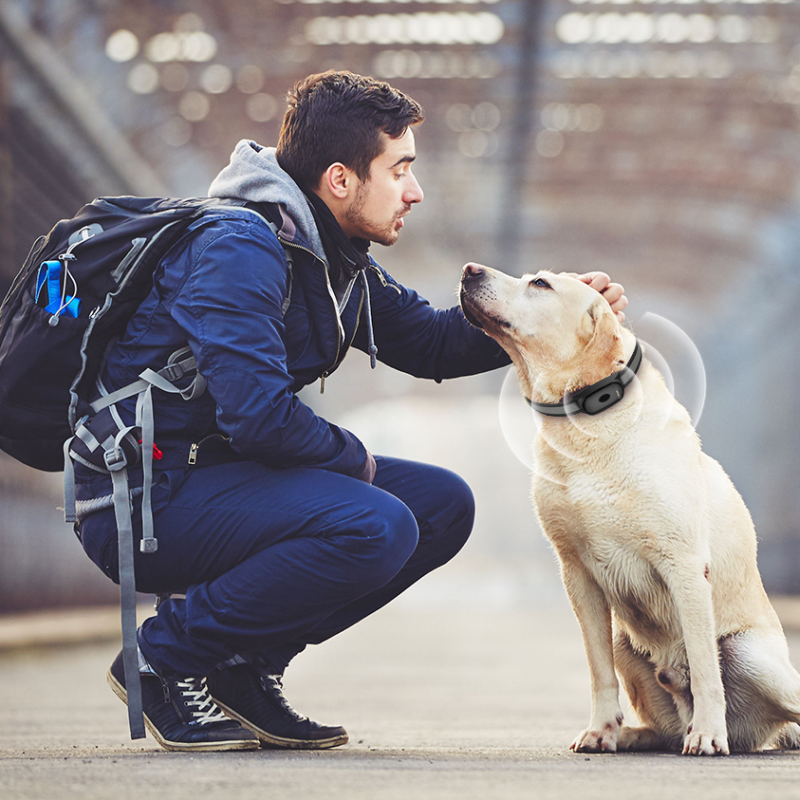
GPS cat trackers incorporate sophisticated geofencing technology that creates customizable virtual boundaries around designated areas, providing automated safety monitoring without restricting your cat's natural independence and curiosity. The intelligent boundary system allows owners to establish multiple safe zones of varying sizes and shapes, accommodating complex property layouts, neighborhood configurations, and specific areas where cats are permitted or prohibited from exploring. The precision mapping interface enables detailed boundary customization using satellite imagery, street maps, and aerial photography, ensuring accurate representation of physical barriers such as busy roads, neighboring properties, or hazardous areas like construction sites or bodies of water. Advanced geofencing algorithms account for GPS accuracy variations and environmental factors, implementing smart buffer zones that prevent false alarms caused by minor positioning fluctuations while maintaining reliable boundary detection. The instant notification system delivers immediate alerts through multiple communication channels including smartphone push notifications, text messages, and email updates when your cat enters or exits designated areas, ensuring rapid response capabilities regardless of your location or activity. Customizable alert schedules allow owners to adjust notification sensitivity based on time of day, weather conditions, or specific circumstances, preventing unnecessary interruptions during expected outdoor exploration periods while maintaining vigilance during vulnerable times. The escape route analysis feature tracks how and where your cat typically leaves safe areas, providing valuable information for implementing physical barriers or environmental modifications to enhance security. Emergency contact integration automatically notifies designated family members, pet sitters, or neighbors when safety alerts are triggered, creating a comprehensive support network for rapid response situations. The historical boundary violation data helps identify patterns in your cat's wandering behavior, revealing preferred escape routes, timing patterns, and potential triggers that might influence their decision to leave safe areas. Integration with local weather services provides automatic adjustment of geofencing parameters during severe weather conditions, expanding safe zones during storms or extreme temperatures when outdoor exploration becomes dangerous.


 Office:29th Floor,Changjiang Center, Renmin Road, Longhua, Shenzhen.
 Factory: 201# Building 1A, Nankechuang Yuangu, Gaofeng Road, Longhua, Shenzhen.


 +86 15899795842
