Intelligent Geofencing and Alert System
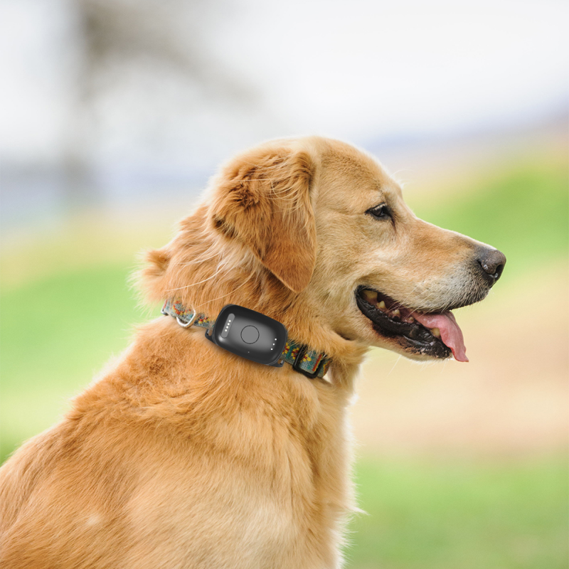
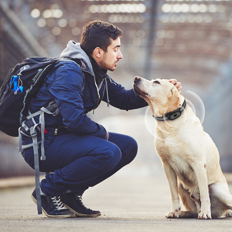
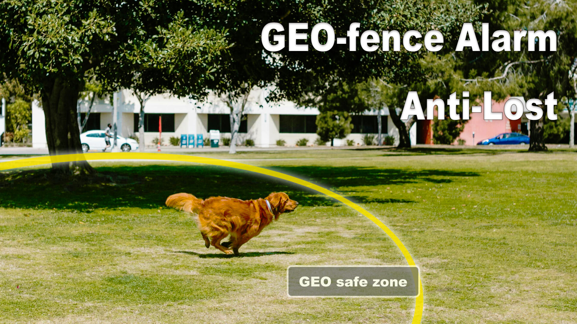
The oem pet gps tracker features an intelligent geofencing and alert system that transforms passive tracking into proactive pet safety management. This sophisticated feature allows users to establish multiple virtual boundaries around important locations such as homes, yards, parks, or neighborhoods, creating customized safe zones tailored to individual pet needs and family routines. The system supports various fence shapes including circular, rectangular, and polygon configurations, enabling precise boundary definition that matches real-world environments and property lines. Users can establish multiple geofences simultaneously, each with different alert settings and notification preferences, accommodating complex daily routines where pets move between various supervised locations. The intelligent alert system distinguishes between normal boundary crossings and potential emergency situations by analyzing crossing duration, direction, and frequency patterns. When pets exit designated safe zones, the oem pet gps tracker immediately sends push notifications, SMS messages, or email alerts to registered users, ensuring rapid response times during critical situations. The system includes customizable alert sensitivity settings that accommodate different pet behaviors and movement patterns, reducing false alarms while maintaining security effectiveness. Advanced features include scheduled geofencing that automatically adjusts boundaries based on time of day or specific dates, reflecting changing supervision patterns and family schedules. The oem pet gps tracker maintains detailed logs of all boundary interactions, providing valuable insights into pet behavior patterns and helping identify potential safety risks or environmental factors that influence pet movement. Emergency escalation protocols ensure that persistent boundary violations trigger additional alert mechanisms, including automated calls to emergency contacts or veterinary services when configured. The geofencing system integrates with mapping services to provide visual boundary representations and real-time pet position relative to established zones, making it easy for users to understand pet location context and make informed decisions about necessary responses.


 Office:29th Floor,Changjiang Center, Renmin Road, Longhua, Shenzhen.
 Factory: 201# Building 1A, Nankechuang Yuangu, Gaofeng Road, Longhua, Shenzhen.


 +86 15899795842
